 Landscape, Location & Geography
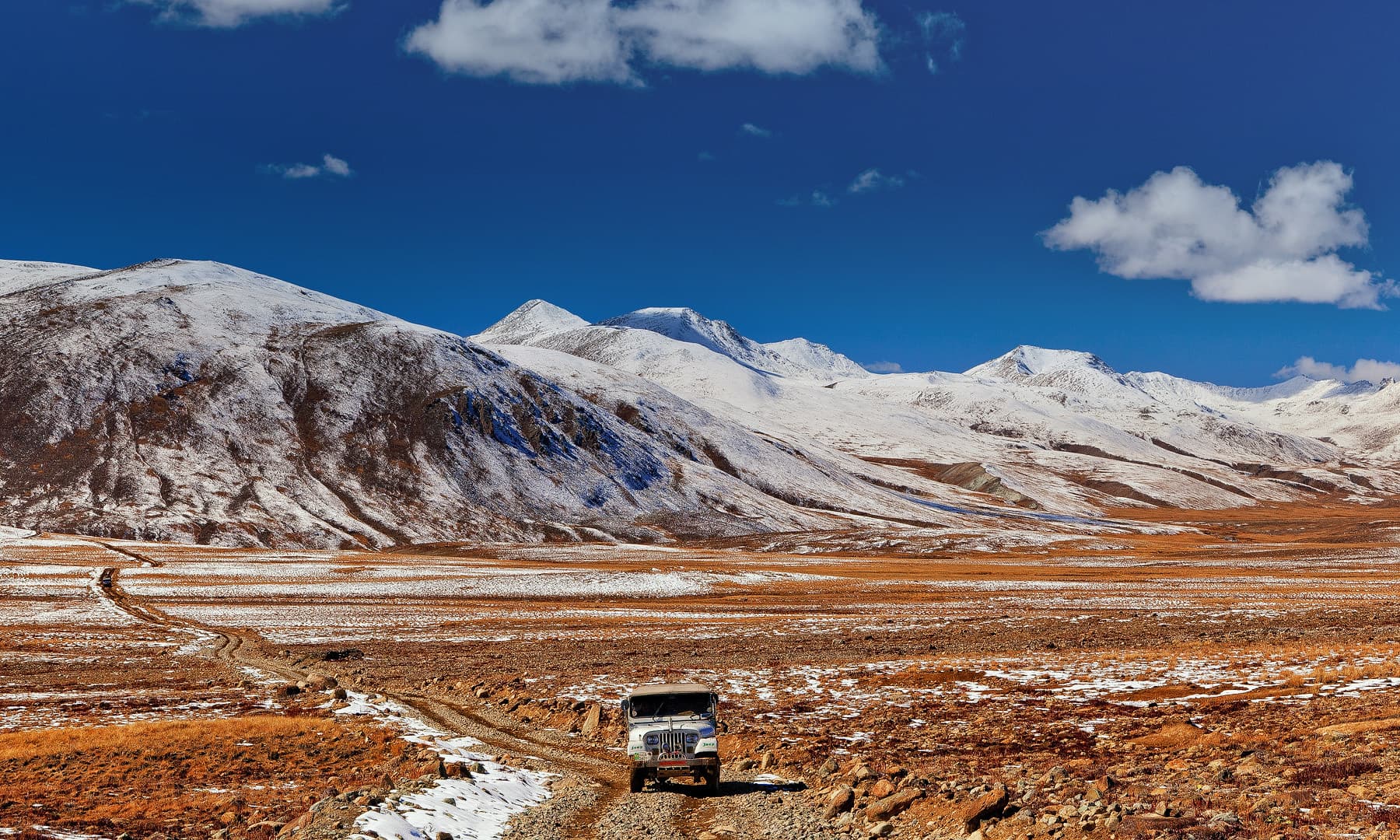
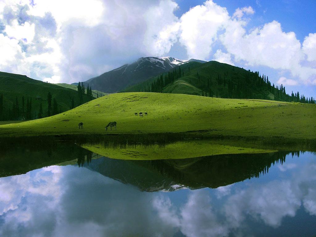
The landscape of Pakistan ranges from lofty mountains in the north, the Karakoram and the Himalayas, through dissected plateaus to the rich alluvial plains of the Punjab. Then follows desolate barrenness of Balochistan and the hot dry deserts of Sindh blending into miles and miles of golden beaches of Mekran coast.
Pakistan is situated between latitude 24 and 37 degrees North and longitude 61 and 75 degrees East. The country is bounded to the west by Iran, to the south-east by India, Afghanistan to the north-west, China to the north-east and the Arabian Sea to the south. The great mountain ranges of the Himalayas, the Karakorams and the Hindukush form Pakistan’s northern highlands of North West Frontier Province and the Gilgit-Baltistan. Punjab province is a flat, alluvial plain with five major rivers dominating the upper region eventually joining the River Indus flowing south to the Arabian Sea. Sindh is bounded to the east by the Thar Desert and the Rann of Kutch and to the west by the Kirthar range. Balochistan Plateau is an arid tableland, encircled by dry mountains
The three primary geographical regions are the northern highlands, the Indus River plain, and the Balochistan Plateau. The northern highlands include the famous K2, Mount Godwin Austen. At 8,611 meters, it is the second highest peak in the world. Pakistan is currently working to develop areas for tourists and trekking sites.
The Indus Plain is home to parts of the great river Indus. The catchment area of the Indus is almost one million square kilometers. All of Pakistan’s major rivers flow into it. The Indus River basin is a large, fertile alluvial plain. The high-quality silted land and extensive irrigation projects have made the area an agricultural destination for thousands of years.