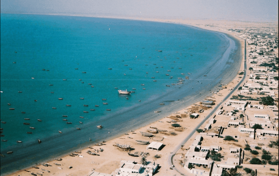
The Balochistan coastline extends over 750 kms. From Hub near Karachi to the Gwadar Bay on Pakistan-Iran border.The coastal tribes are as colourful as that of central and upper Balochistan. Their colourful costumes, songs and dances are equally fascinating. The whole area is rich with long unspoilt golden sunny beaches and a variety of sea fish. Because of the importance of this coast Pasni, Jiwani and Gwadar, the three important coastal towns, have been linked by air with Karachi and Quetta. Gaddani Beach near Karachi is an excellent seaside spot for picnic.The Makran Coast Range forms a narrow strip of mountains along about 75 percent of the total coast length, or about 800 km (500 mi). These steep mountains rise to an elevation of up to 1,500 m (5,000 ft). Most of the coast is underdeveloped, with deserted beaches and only a few fishing villages.The coast is rugged and tectonic in origin as evidenced by the uplifted terraces, headlands and fluted beds. The mud volcanoes present along the shores further support this. The coastline is mostly bare desert with unique landforms such as sandy beaches, mud flats, rocky cliffs, headlands, bays, deltas, etc. Brief descriptions of these are given in the following section.
